Geospatial Data Utilization in Mobile Commerce: Refining Advisory Inputs for Marketing Strategies and Security Protocols
Written by Casey Krüger · Aug 31, 2026
Geospatial Data Utilization in Mobile Commerce: Refining Advisory Inputs for Marketing Strategies and Security Protocols
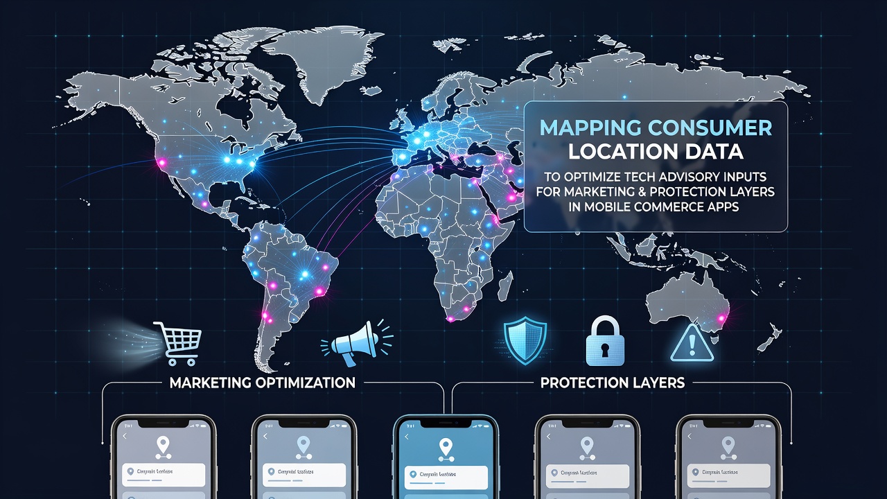
Consumer location data mapping has become a core process in mobile commerce applications where geospatial coordinates feed directly into advisory systems that adjust marketing messages and security measures in real time, and developers combine GPS signals with app usage patterns to create layered inputs that guide both promotional targeting and threat detection protocols.
Studies from academic institutions reveal that location-based datasets when aggregated at scale allow algorithms to predict user movement corridors which then inform dynamic content delivery such as localized offers that appear only when a device enters a specific retail zone while simultaneously flagging unusual access attempts from distant regions that deviate from established behavioral baselines.
Core Mechanisms Behind Location Mapping
Mapping begins with the collection of latitude and longitude pairs alongside timestamps which mobile apps capture through device APIs and then process through clustering techniques that group users by proximity to commercial hubs or travel routes, and this structured output feeds advisory engines that recommend adjustments to campaign parameters or security thresholds based on density calculations and velocity vectors.
Researchers at universities across North America have documented how these clusters when cross-referenced with purchase histories produce advisory scores that marketing teams apply to refine push notification timing whereas security layers receive parallel scores that elevate authentication requirements during periods of rapid geographic displacement.
Marketing Optimization Through Advisory Inputs
Advisory systems leverage mapped location data to segment audiences according to dwell time near physical stores or transport hubs which enables campaigns to shift from broad demographic blasts to hyper-local triggers that activate when a device lingers within defined polygons, and figures from industry reports indicate conversion rates rise when such triggers align with real-world foot traffic patterns recorded during peak shopping windows.
One analysis released by an Australian research consortium in mid-2026 highlighted that apps integrating these advisory loops saw measurable lifts in engagement metrics during August when seasonal travel patterns altered consumer routes around major urban centers and the data streams allowed marketers to reroute promotional budgets toward emerging high-density zones without manual intervention.
Protection Layers and Threat Mitigation

Security protocols within mobile commerce apps draw from the same geospatial datasets to establish normal movement envelopes for each account and any transaction initiated outside those envelopes triggers escalated verification steps such as multi-factor prompts or temporary holds while the advisory input simultaneously logs the anomaly for pattern analysis across the broader user base.
Data compiled by regulatory bodies in the European Union shows that location-augmented fraud detection reduced unauthorized access incidents by correlating device position with historical transaction geography and this approach has gained traction in regions where cross-border shopping volumes increased during summer travel seasons including August 2026.
Integration Challenges and Technical Considerations
Combining marketing and protection advisory streams requires careful data governance because location signals must remain anonymized at the cluster level to comply with privacy frameworks yet still retain enough granularity to drive accurate recommendations and developers address this through differential privacy techniques that add controlled noise without erasing the spatial relationships essential for both use cases.
Observers note that synchronization between the two advisory channels demands low-latency pipelines since marketing content and security checks often activate within the same user session and delays in one stream can cascade into mismatched experiences such as a promotional offer appearing alongside an unnecessary authentication barrier.
Future Developments in Advisory Frameworks
Emerging standards from international standards organizations point toward greater use of edge computing to process location data locally on devices before transmitting aggregated insights to central advisory systems which reduces transmission overhead while preserving responsiveness for both marketing personalization and real-time protection adjustments.
Reports issued by Canadian government agencies emphasize ongoing pilots that test federated learning models where individual apps contribute location-derived features without sharing raw coordinates and these models are expected to mature further by late 2026 allowing more precise advisory inputs across diverse mobile commerce platforms.
Conclusion
Location data mapping continues to supply the raw material for advisory systems that simultaneously steer marketing precision and security vigilance in mobile commerce and the dual application of these geospatial inputs demonstrates how a single data source can support multiple operational layers when properly structured and governed.